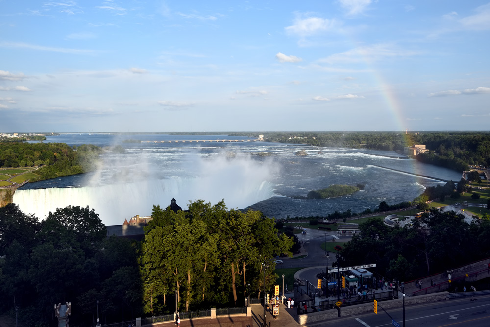
The Niagara Falls. Goosebumps. No more words needed.
Visitors on the US side. They look dazzled.
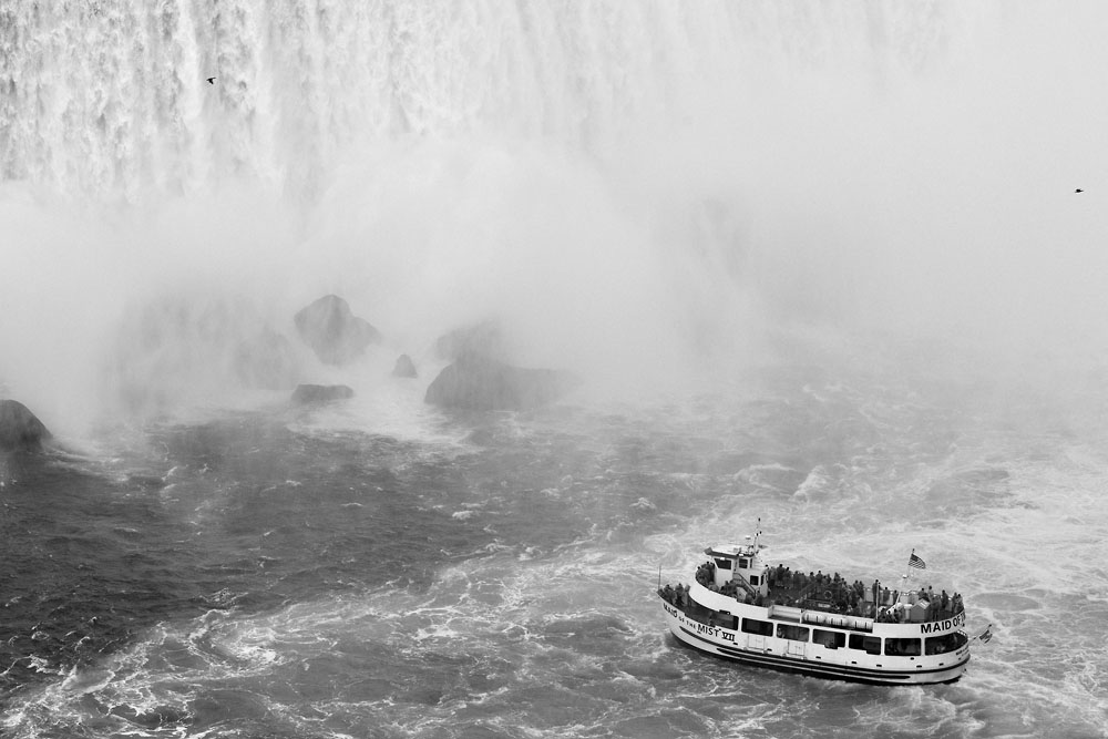
More than 168,000 m3 water. Per Minute.
That is 1680 tank cars. The train would be 27km long. One Per Minute!
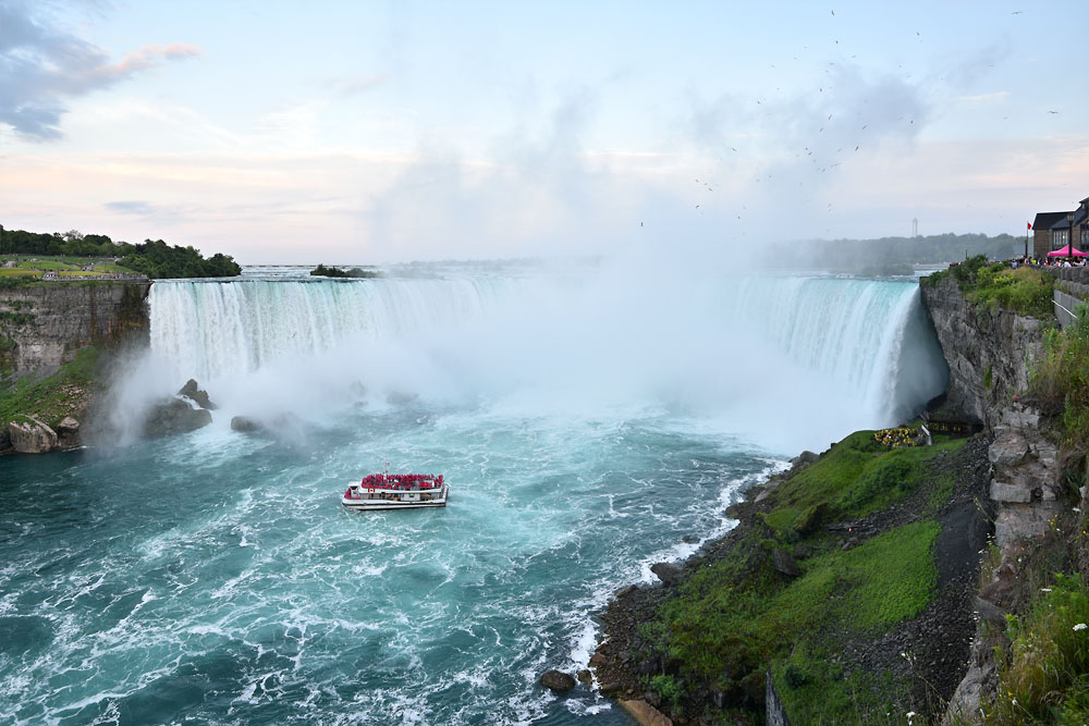
The American Falls and the Bridal Falls.
A tall building in my back creates an impressive shadow.
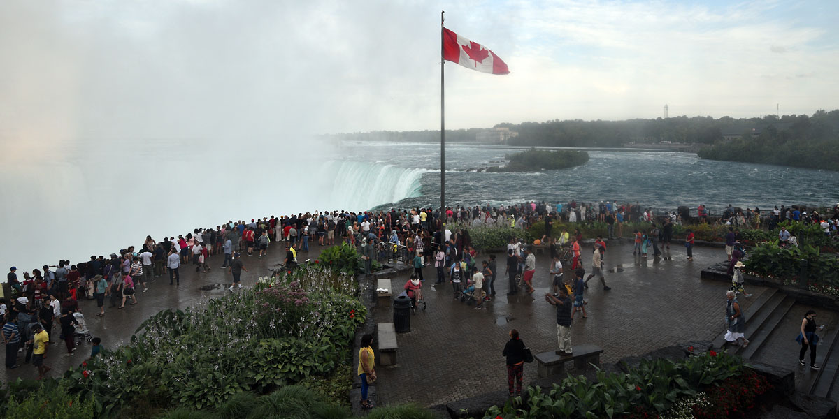
Visitors on the Canadian side. They look watered.
In the old days, the Niagara Escarpment (geological reason for the Falls, google it!) wandered 1.8m annualy upwards.
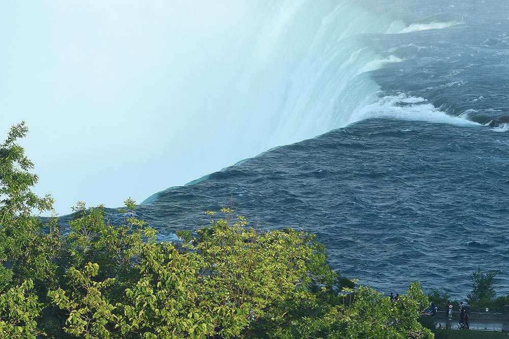
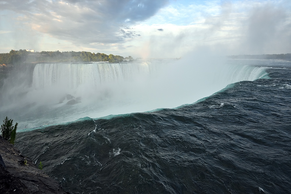
Only a few feet and then a drop of 50m.
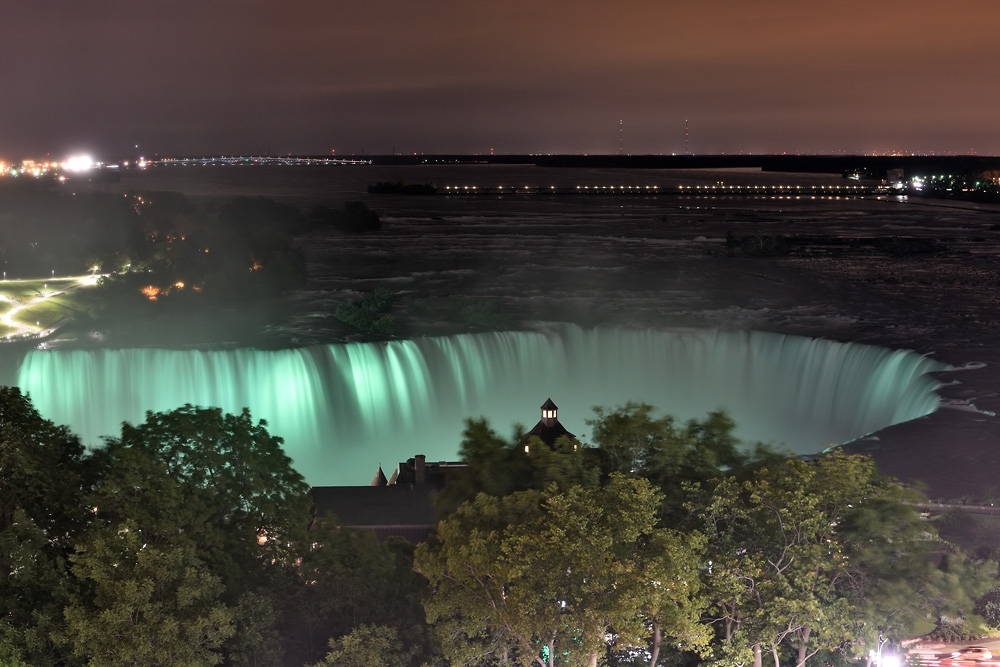
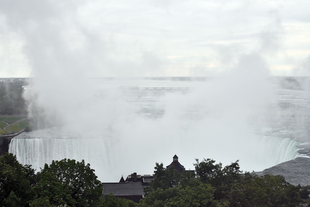
Nice view from my corner room on IIRC 8th floor of The Oakes hotel.
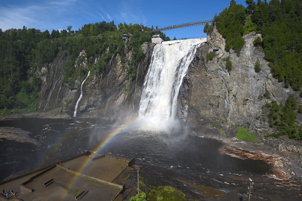
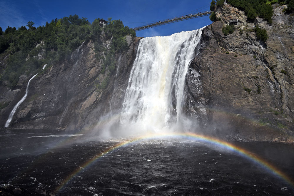
Much much much smaller - just off the city limits of Québec: Montmorency Falls.
Nice setting with the cable car (see prev. image) and the cliffs
Did I say smaller? They are 30m higher than the Niagara Falls.
The water is joining St. Lawrence river just after the drop.
Nice suspension bridge - infrastructure for tourism has developped early!
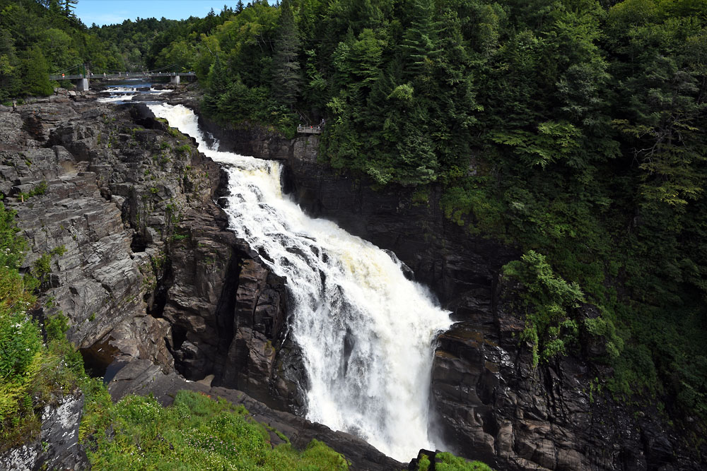
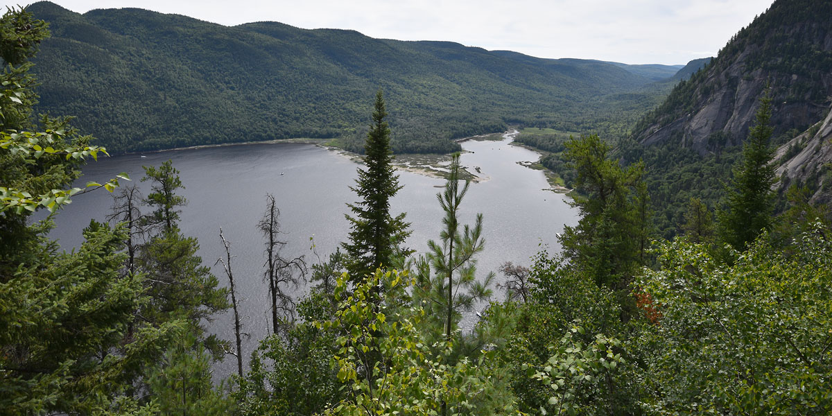
Sainte-Anne-du-Nord River, flowing a long way through Canadian wilderness, before...
... becoming white (ish) and then ...
... drop massively down a canyon!
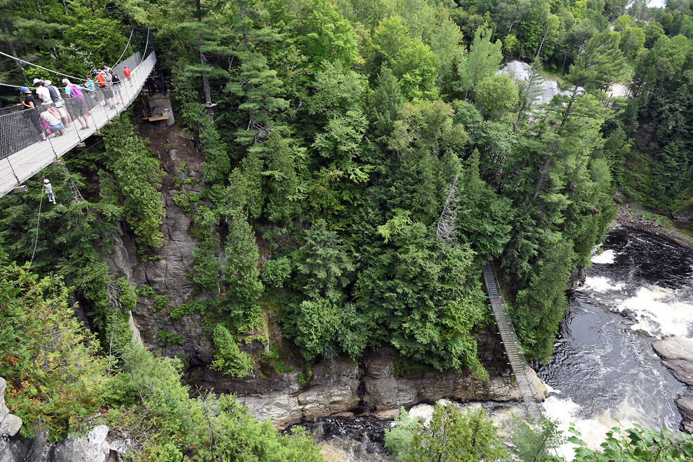
The Canyon is a very popular outdoor activity park (for the not-so-serious outdoorers though) and has earned highest rankings among similar touristic sites.
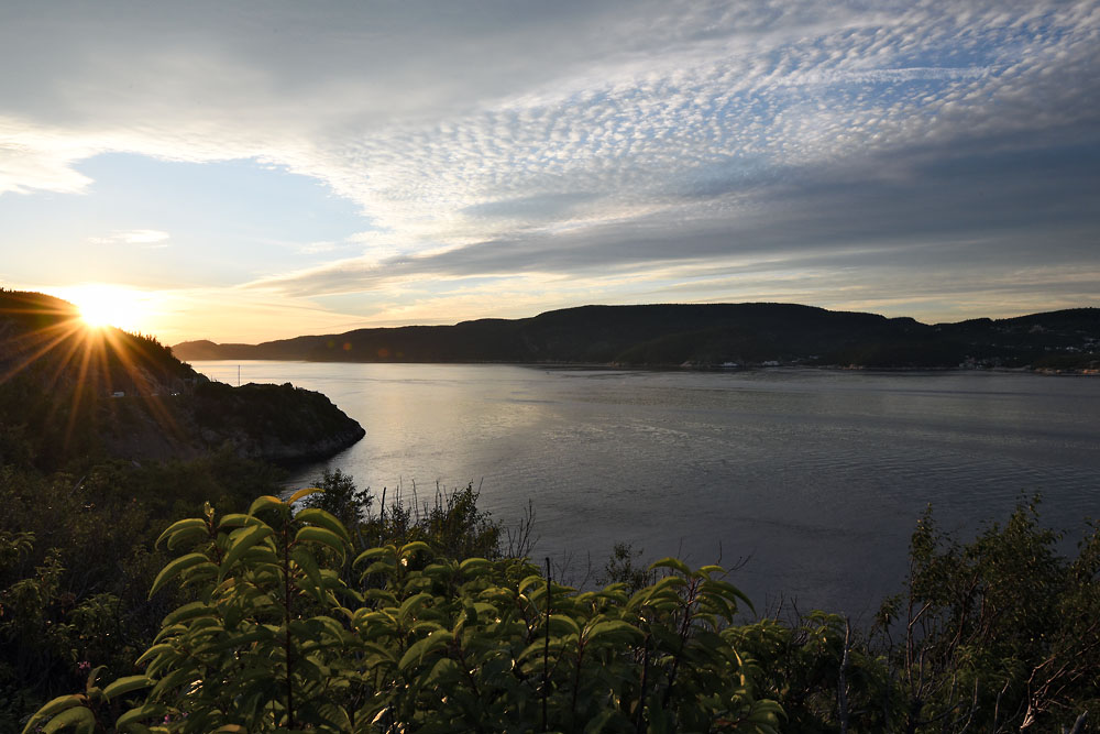
Our eastern-most stop for the night: Baie St. Catherine. This is the Starboard entry into Saguenay River Natural reserve.
PS: look, there's Beluga whales welcoming us !!
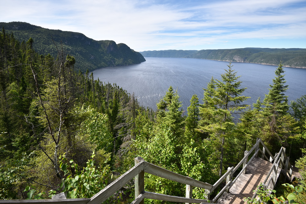
The Saguenay Fjord expands about 100km to the north. In my world, that is very very very far.
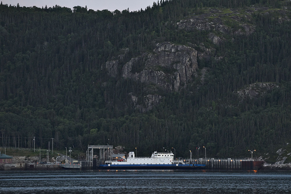
On route 138, there is not enough traffic for a brigde or a tunnel. So, there's a ferry crossing the 3km fjord
Circling the Fjord adds >>200km to your odometer. And brings you to Anse-Saint-Jean.
Or, right into the National Park and Baie Eternité.
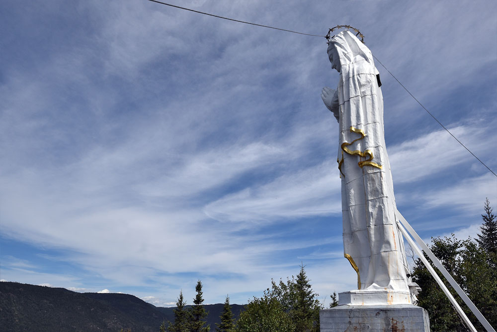
Not sure why it's there, but the Statue of Our Lady of Saguenay marks the end of the hike.
... overlooking the fjord and protecting those on a cruise, maybe?
It's so big, deep and remote, just yawdropping...
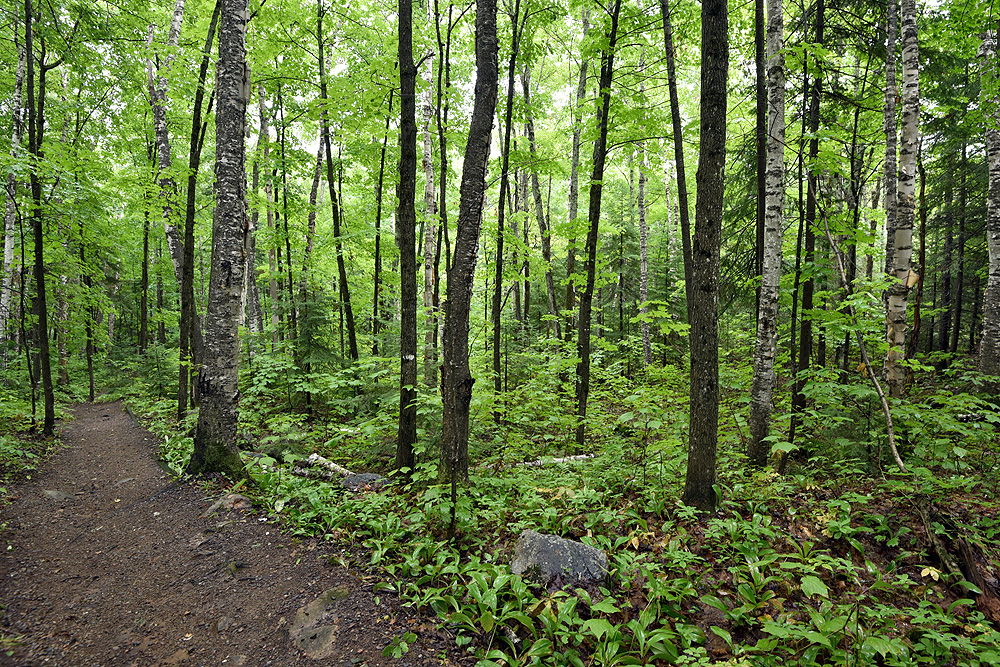
meh. hiking paths look the same as back home.
:-D
A lighthouse near La Baie
Eventually, the first brigde over Saguenay, in the town of Chicoutimi, is near and ahead...
Pont de Sainte Anne.
Still, the water moves >5m with the tide!!
Heading out to the fjord's mouth again, we pass this viewpoint at Sainte-Rose-du-Nord.
Remember, this is just a 100km fjord off a RIVER. So beautiful!
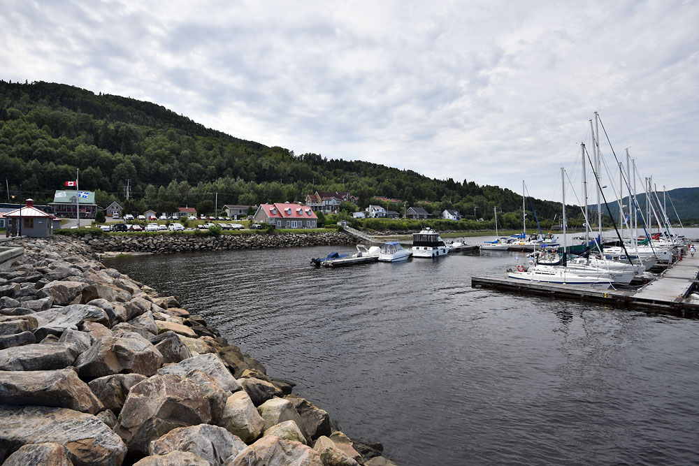
Back in Tadoussac which is the village east of the fjord, we're boarding the ferry.
Seems to be a popular place for sunset lovers. Gazing over St. Lawrence river and watching the Belugas dance!
Looking back to Tadoussac. 138 follows the shoreline for another 844km all the way out to Kegaska.
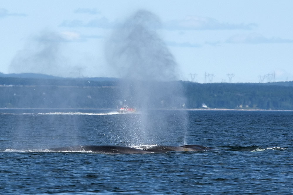
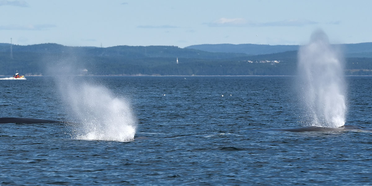
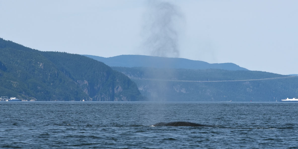
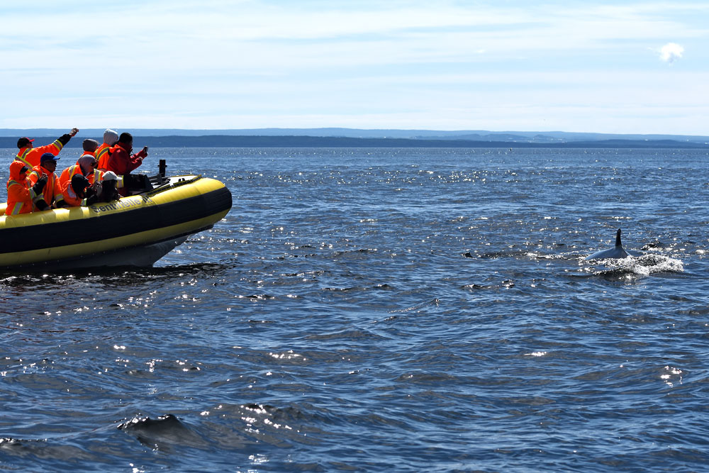
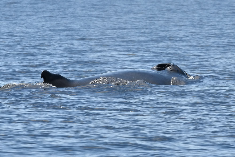
Next day the highlight: Whale Watching on the St. Lawrence. And there were many! (Tourists, that is).
Ok, we've been blessed to watch many whales, as well.
We also observed Belugas but they were far away. So you have to stay with the minkes.
In the background this is Prince Shoal Lighthouse. Quite a story why it's called Prince!
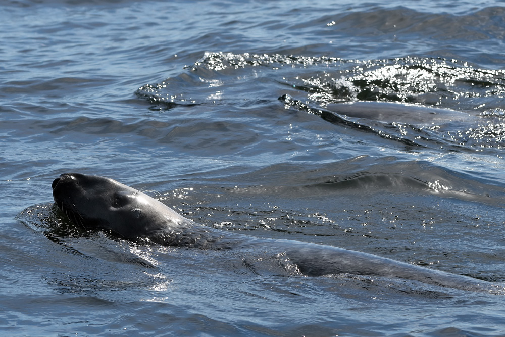
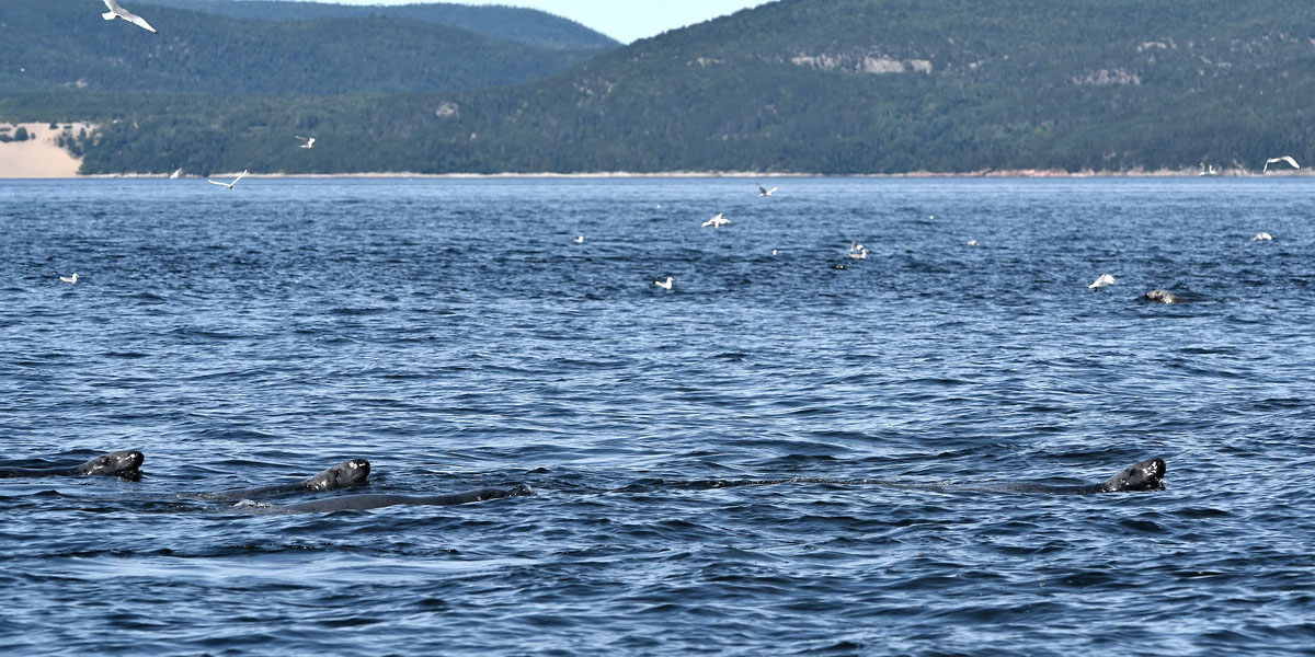
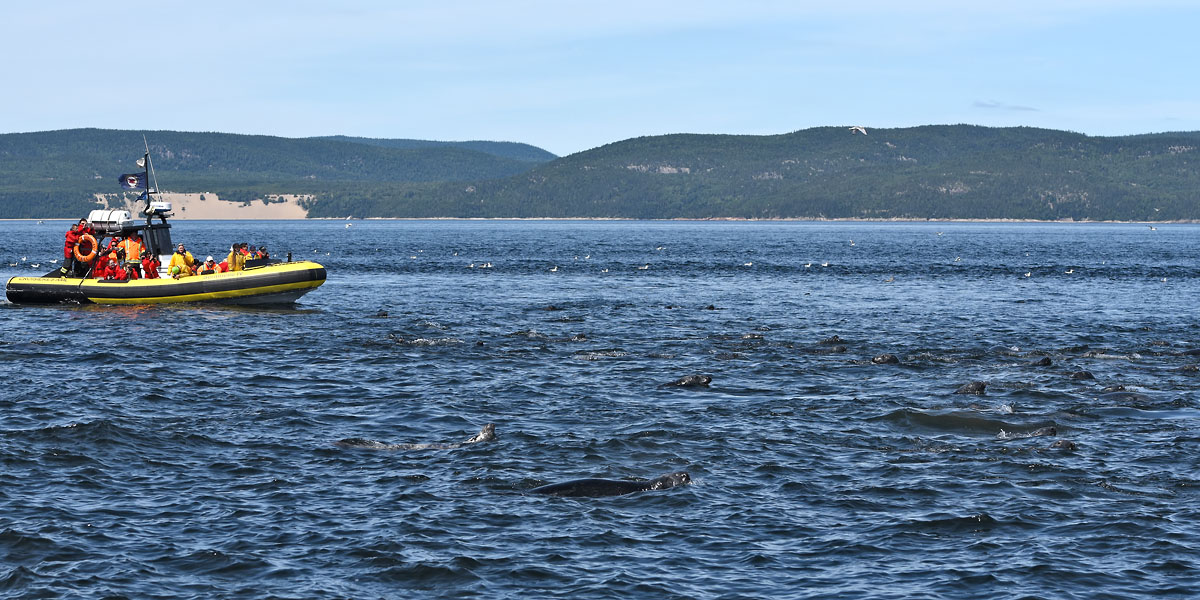
Grey Seals! Dozens!
Some, likely younger ones, came quite close,
Whales, Seagulls, Seals, in 1 picture!
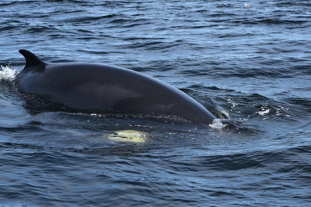
Not sure but this whale was very far away but still looks veeery long from far. I guess this could be a fin whale rather than a mink whale. That would be insanely awesome!
Grüezi!
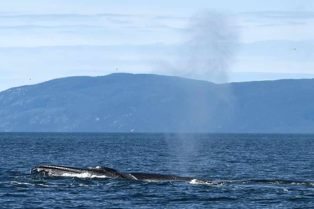
This guy passed right under our boat. Nice white spots on his flappers.
Show me the fin!
Eventually, we return to shore. Which has a funny, sandy look right here...
Our last day, returning to Montréal for the evening flight home, we stopped at La-Mauricie N.P.
The weather was very grey and dull - a different setting for this park.
Still, a fitting one!
Lake Wapizagonke.
9km almost straight paddling ground.
...and to top it off - I catched a Blue Jay (cyanocitta cristata)!
Pines Island
And with this peaceful setting, our trip 'round Ontario and Québec ended! Very sad - there's so much to see!